
Walk a Carpentersville Street
A street-by-street search starts with a complete address, not a person’s name. Kane County’s parcel tools can tie that address to a property identification number, or PIN, and a recorded owner. That owner may not be the occupant. The mailing address may also differ from the place being searched. Keep those distinctions in the notes from the start.
The most useful Carpentersville street directory trail moves from the current parcel to dated records. It can establish who owns a lot, when a deed was recorded, what public work was tied to the site, and how the block appeared in older sources. It cannot produce a complete list of household members.
- Standardize the address, then search Kane County DevNet by house number, street, type, and city.
- Save the PIN, situs address, owner block, mailing address, tax year, and link to GIS.
- Open KaneGIS4 and identify nearby parcel boundaries and PINs along the same block.
- Use the PIN or owner names in the Recorder’s land-record index. Follow the grantor and grantee chain through dated instruments.
- Use voter lookup only to confirm a person already known, then consult historical directories or maps for an older address.
Search Carpentersville by Address
The Kane County DevNet Property Search is the strongest first stop for a modern address. Its property search accepts separate address parts and returns parcel cards. Select the current tax year when current values matter. Historical tax choices do not mean that every field has equal coverage in each year.
| Search field | Input | Use in a street search |
|---|---|---|
| House | Street number | Targets one site or an address range |
| Street | Name without extra terms | Finds matching Carpentersville parcels |
| Type | Road suffix | Separates roads with similar names |
| City | Carpentersville | Narrows the countywide index |
| PIN or owner | Known identifier or name | Reopens a parcel or checks a second route |
The manifest capture of the Kane County Assessment Office shows the official route into this owner and parcel system.
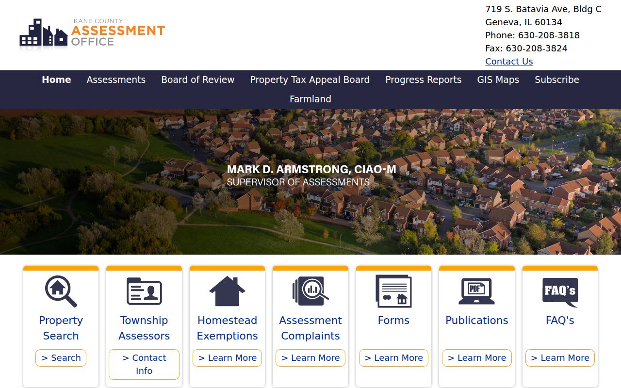
The assessment office is the custodian context; DevNet is the working search screen used to turn a Carpentersville address into a PIN.
Read Carpentersville Parcel Cards
A parcel card separates the site from the owner’s contact address. The research sample used a public Village property and displayed a PIN, a situs address, an owner and mailing block, property class, tax code, exemption status, values, payment history, sales history, and a GIS link. Situs means the physical location of the parcel. It is not always the address where the named owner receives mail.
This difference is a key street directory clue. An owner with a mailing address elsewhere may still hold title to the Carpentersville site. A matching mailing and site address still does not prove that every person in the home appears on the card. Save the tax year with each screen because parcel details can change.
Tip. Record both address blocks and the PIN before opening deeds, since each can lead to a different part of the official record trail.
Map Carpentersville Street Parcels
KaneGIS4 adds the spatial view that a parcel list lacks. Start with the PIN from DevNet, identify the lot, and then note the PINs touching it or lining the same side of the street. Open those parcel cards one by one. The map can also supply district and layer context, but its lines are not a survey.
The county’s GIS FAQ explains that map geometry should not replace a deed’s legal description or a professional survey. Plats may be obtained through county sources when the legal lot pattern matters. The captured FAQ illustrates these limits.
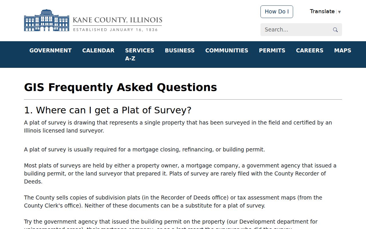
That warning keeps a by-address search accurate: map lines locate likely parcels, while deeds and plats control the legal description.
Carpentersville Street Record Sources
No single Carpentersville record answers every address question. The street directory is strongest when the date, role, and custodian stay attached to each name. A deed names parties to a transfer. A permit can name an owner, applicant, or contractor. A directory entry reflects a printed snapshot.
| Address source | Record keeper | Street evidence | How to reach it |
|---|---|---|---|
| Parcel and tax card | Kane Assessment Office | PIN, owner, situs and mailing addresses, tax data | Free DevNet search |
| Parcel map | Kane County GIS | Adjacent lots, map layers, district context | Public KaneGIS4 viewer |
| Recorded instruments | Kane County Recorder | Grantors, grantees, dates, PINs and legal descriptions | Web index and Geneva research computers |
| Permits and code files | Village Community Development | Project address and record participants | Department request or Village FOIA |
| Historical directories and maps | Fox River Valley Public Library | Dated names, addresses, businesses and street context | Digital files and in-house collections |
The PIN is the best bridge between the first three sources. Street and date terms help with Village requests. When a search shifts to older occupants, the historical collection belongs in the Carpentersville city directory workflow rather than in a modern owner list.
Trace Carpentersville Street Deeds
The Kane County Land Records Search offers quick-name, document-number, PIN, UCC, book/page, plat-book, tract-book, and section-township-range routes. Grantor means the party conveying an interest; grantee means the party receiving it. A by-street chain works best after DevNet supplies a current owner and PIN.
Search the current grantee, open the likely instrument, record its date and legal description, then use the prior grantor as the next name. The application template includes document date, grantor, grantee, parcel, remarks, instrument description, and book or page details. The unattended research did not render a populated deed result, so no sample transfer should be assumed.
The Recorder says public research reaches back to 1837, but the exact online cutoff varies and was not published. When the web trail ends, use the six public research computers, copy center, tract functions, and staff at the Geneva office. That 1837 reach is a strong number, not a promise that every image is online.
Carpentersville Permits by Street
The Village does not publish a broad permit-case search in the inspected sources. Community Development handles building permits, inspections, code compliance, planning, and zoning. The residential permit form keys work to an address and can include owner, applicant, contractor, project, trade, cost, and inspection details.
The official Community Development screen shows the municipal route for these address records.
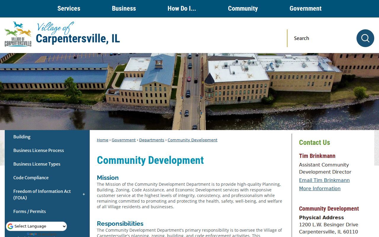
Use the project address, record type, and a narrow date range when asking the department for a file. A precise request is easier to process than a request for every record tied to a person.
Carpentersville Building Address Files
The Village Building page describes permit submission, payment, and inspection routes. It is a service workflow, not a public street roster. A permit name must be read with its role. The owner, applicant, contractor, and trade contact can all be different people.
The captured Village Building access point identifies the permit and inspection route.
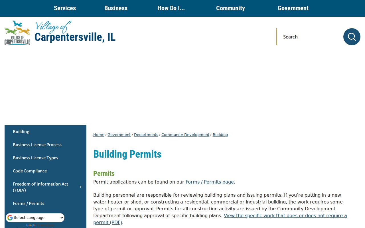
If staff directs the request to FOIA, the Village FOIA center accepts online requests and documents paper, email, fax, phone, inspection, and copy options. Illinois FOIA ordinarily targets five business days for a noncommercial request, subject to lawful extensions and exemptions.
Carpentersville Streets Across Eras
Old Town near the Fox River and the later Meadowdale build-out should not be searched as one address era. Village history ties the older grid to the Carpenter settlement, bridge, trolley, and industrial spine. Meadowdale was developed and annexed in the mid-1950s, and its shopping center had 54 stores by 1960. Later permits, newspapers, directories, and maps become more useful for that part of Carpentersville.
No official street-renaming or renumbering crosswalk was found. For an old address, compare a deed legal description, plat, Sanborn sheet, printed directory heading, Village map, and GIS parcel. Do not silently force an older Dundee or Elgin label into a modern Carpentersville location.
Note: Keep the printed place name and the modern municipality as separate fields whenever a regional source uses both.
Confirm a Carpentersville Street Match
The Illinois voter registration lookup confirms a known person’s registration. It requires first name, last name, birth date, and ZIP, with street number and street name used to disambiguate some searches. It is not an open roll that can be browsed house by house.
Kane County’s full voter file is restricted to qualifying political committees for bona fide political purposes. It is not a public street directory. A confirmation result should therefore support a known identity, not create a list of all people on a Carpentersville block.
Carpentersville Street Record Terms
Four terms prevent common errors when records from different custodians are combined.
- Parcel
- A mapped unit of land identified by a county PIN.
- Situs address
- The physical address assigned to the parcel, which may differ from the owner’s mailing address.
- Plat
- A recorded map that shows lots, blocks, easements, or subdivisions. It carries more legal weight than a general GIS view.
- Criss-cross directory
- A printed directory arranged by street and house number rather than only by surname.
These terms also explain why one name cannot stand for all occupants. A parcel identifies land, a deed identifies parties to an instrument, and a directory identifies a dated listing.
When Carpentersville Indexes End
Online gaps need a fallback chain. For land records, contact the Recorder and use the Geneva research computers, tract books, plats, and copy center. For address-keyed municipal files, ask Community Development first and then file a narrow Village FOIA request. For older street context, ask the Fox River Valley Public Library about in-house city directories, yearbooks, maps, plat books, ordinances, and local-history files.
Fire loss can also explain a dead end. Illinois Regional Archives Depository research notes that an 1843 fire damaged or lost Kane County records, while the March 13, 1890 courthouse fire destroyed 5,000 court files. Land, newspaper, probate, and archive indexes may supply context where a court file no longer survives.
Limits of Carpentersville Street Records
A Carpentersville street directory cannot prove who sleeps at an address, whether every owner lives there, or whether an older listing remains current. The assessment card is an ownership and tax source. A deed records a transaction. Permit files name people in specific roles. Voter lookup confirms one known registrant and may omit protected information.
Illinois driver and vehicle address data is restricted, and the Address Confidentiality Program can provide a substitute address to eligible victims. Public map detail also has limits. Keep only the facts needed for lawful family, property, civic, or safety research, and verify a claim with the office that holds the record.
Lawful use. Use Carpentersville address records only for lawful personal research. Never use a name or address to stalk, harass, threaten, or harm anyone.